
Major Volcanic Systems
From sleeping giants to historical devastation — Iceland's most powerful volcanoes, their recent activity, and what makes each one unique.
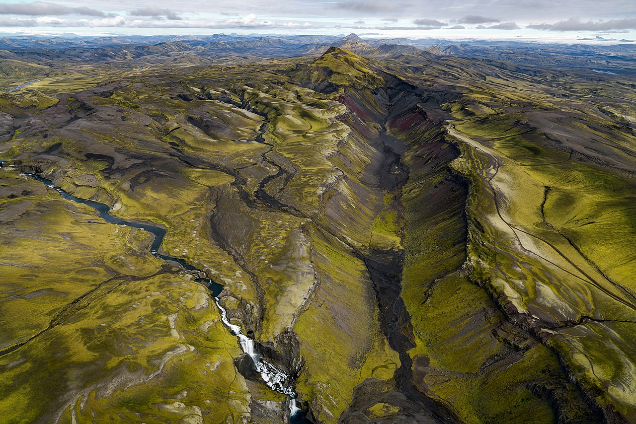
Iceland's Volcanic Giants

Katla
Iceland's most dangerous volcano lies beneath Mýrdalsjökull glacier. When Katla erupts, it unleashes catastrophic glacial floods that can reshape entire landscapes.
Last major eruption
1918
Current gap
107 years

Hekla
Medieval Europeans believed Hekla was the gateway to Hell. This stratovolcano is famous for erupting with minimal warning — sometimes less than an hour.
Last eruption
2000
Overdue since
25 years

Bárðarbunga
Hidden beneath Vatnajökull glacier, Bárðarbunga's 2014–2015 Holuhraun eruption was Iceland's largest in 230 years, creating a lava field larger than Manhattan.
Holuhraun eruption
2014–15
Lava field size
85 km²

Grímsvötn
Iceland's most frequently erupting volcano, hidden beneath Vatnajökull. Erupts every 5–10 years with powerful but short-lived explosive events.
Last eruption
2011
Known eruptions
60+

Askja
Remote highland caldera system famous for its dramatic 1875 eruption and stunning blue Víti crater lake — training ground for Apollo astronauts.
Last eruption
1961
Caldera size
50 km²

Öræfajökull
Iceland's tallest mountain (2,110 m) is an active volcano under Vatnajökull. Responsible for Iceland's deadliest eruption in 1362.
Elevation
2,110 m
Last eruption
1727
Historic Volcanic Events

Lakagígar (Skaftáreldar)
The 1783–1784 Laki eruption was one of the most catastrophic volcanic events in recorded history, affecting the entire Northern Hemisphere and killing millions globally.
Eruption period
1783–84
Global deaths
6 million
Eldgjá
The 934–940 AD Eldgjá eruption produced the largest lava flood in recorded history, part of the Katla volcanic system.
Eruption year
934 AD
Lava volume
19.6 km³
Mývatn Volcanic Area
North Iceland's volcanic wonderland — active geothermal areas, recent lava flows, and the powerful Krafla volcanic system all within a short drive.

Krafla
Krafla's 1975–1984 'Mývatn Fires' involved 9 eruptions creating new lava fields and the famous Víti explosion crater.
Active period
1975–84
Eruptions
9 total

Námafjall (Hverir)
High-temperature geothermal area with boiling mud pools, steaming fumaroles, and colorful sulfur deposits.
Depth temperature
200°C
Landscape
Mars-like

Dimmuborgir
Ancient lava formations with dramatic pillars and caves, formed when lava flowed over a lake 2,300 years ago.
Age
2,300 years
Notable
GoT location
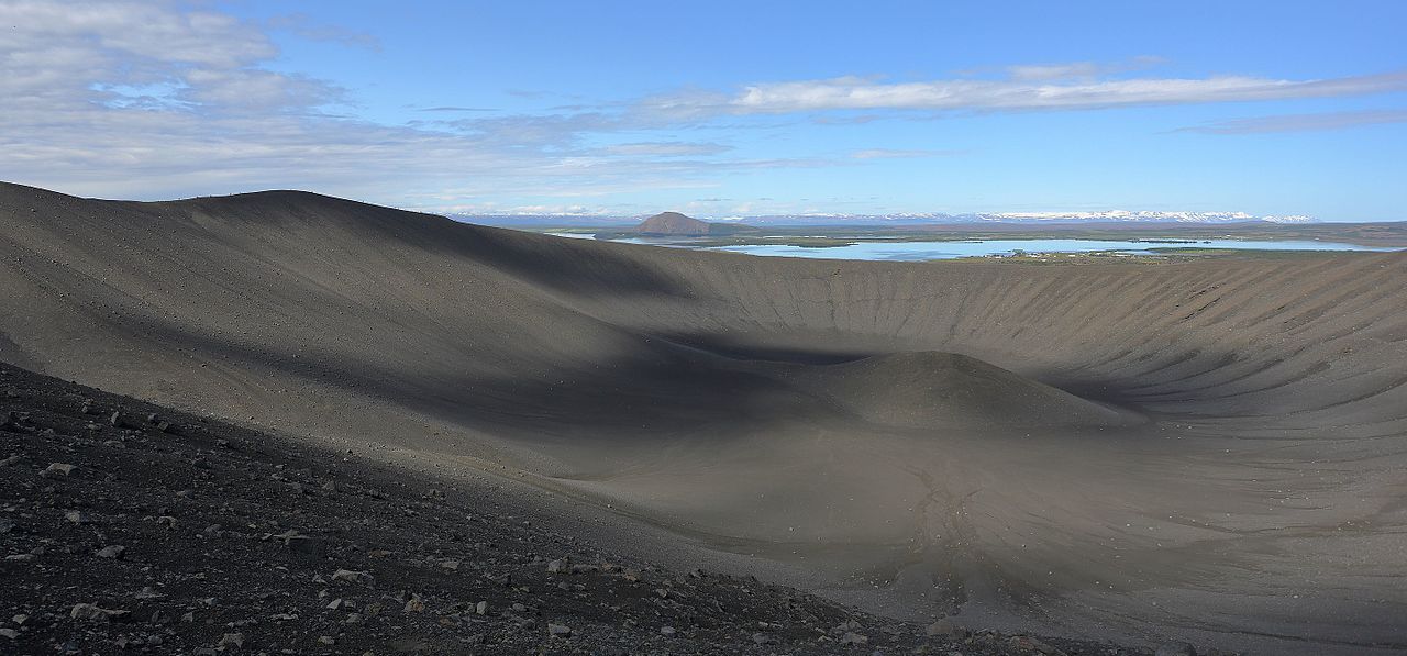
Hverfjall
One of the world's best-preserved tephra cone craters offering spectacular 360° views of the volcanic landscape.
Diameter
1 km
Depth
140 m
How Iceland Monitors Its Volcanoes
Seismic Network
70+ seismometers detect earthquake swarms down to magnitude 0.5, providing early warning of magma movement.
GPS Monitoring
Continuous GPS measurements detect millimeter-scale ground deformation as magma moves beneath the surface.
Gas Monitoring
Chemical analysis of volcanic gases indicates changes in magma composition and depth.
Thermal Cameras
Infrared cameras detect temperature changes and track lava flow movement in real time.
InSAR Satellites
Satellite radar detects centimeter-scale ground deformation over large areas simultaneously.
Hydrological
River monitoring for jökulhlaup detection — especially critical for Katla and Grímsvötn.
Explore More Volcanic Iceland
Learn about safety, tours, and current volcanic activity.